


SMASH Digital Field Mapping
SMASH is a digital field mapping application developed to perform fast qualitative engineering/geologic surveys and GIS data collection.
The main aim of SMASH is to have a tool that:
* fits in any pocket and can be always at hand, when needed
* gives the possibility to take geo-referenced and possibly orientated pictures during a survey, with further possibility to import them into GIS applications like gvSIG
* is able to easily exploit an Internet connection, if available
* is extremely easy to use and intuitive, providing just few important functions
The main features available in SMASH are:
* geo-referenced notes
* geo-referenced and oriented pictures
* gps track logging
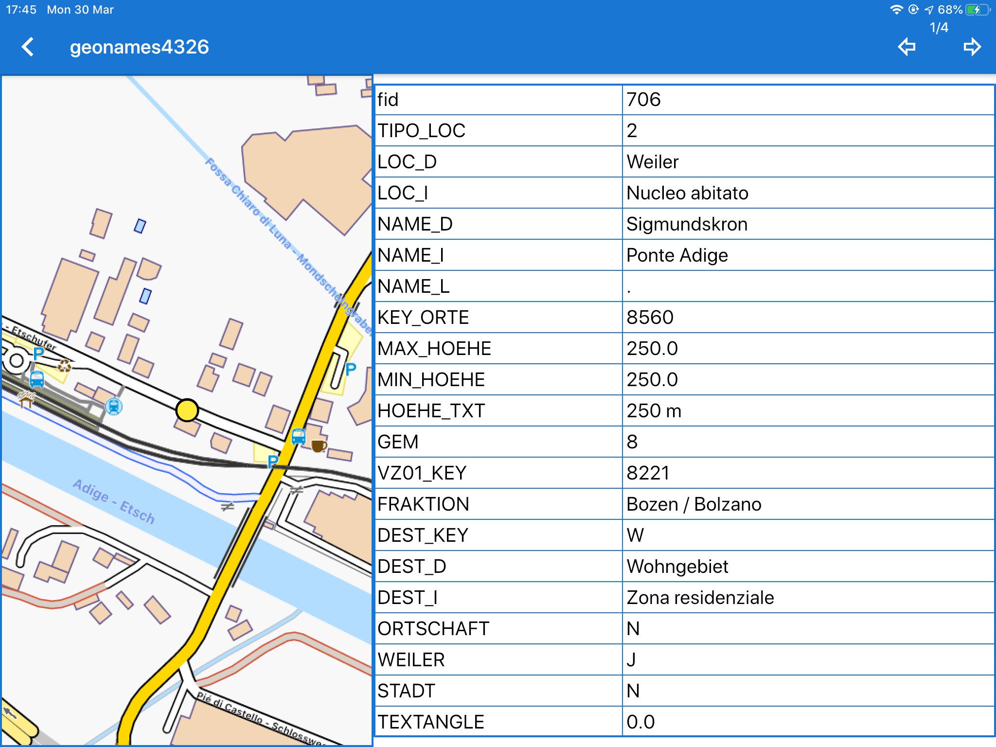
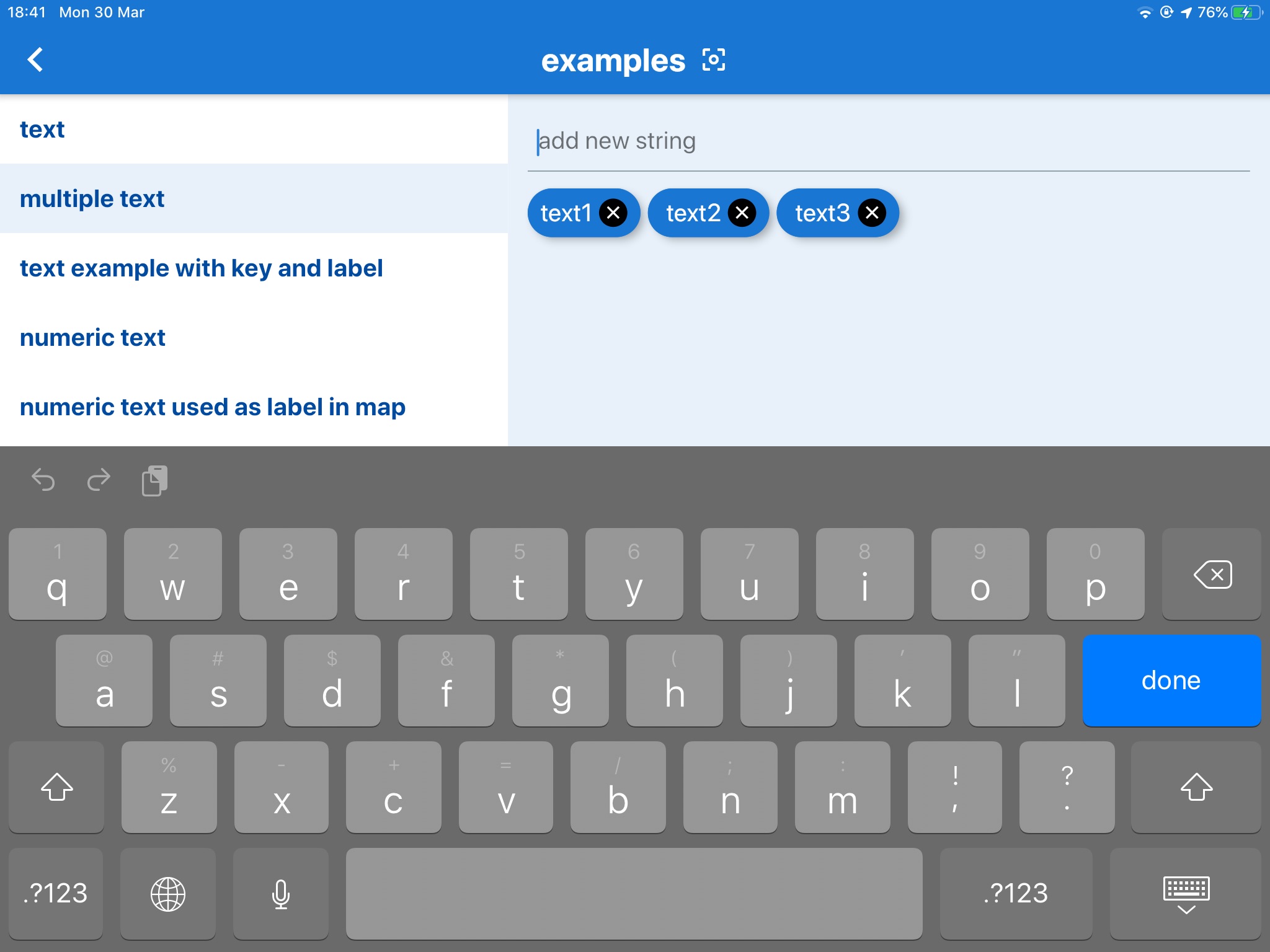
* form-based data surveys
* easy export of collected data
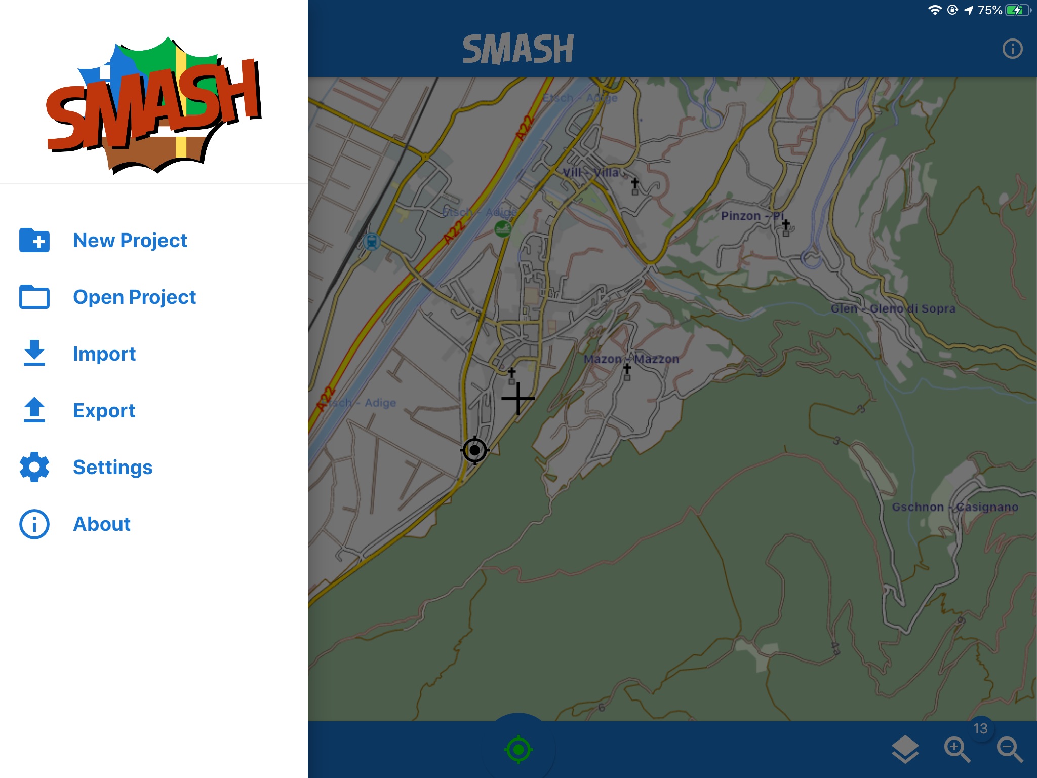
* a map view for navigation with support for raster tiles and gpx vector data
* geopackage (OGC standard) support